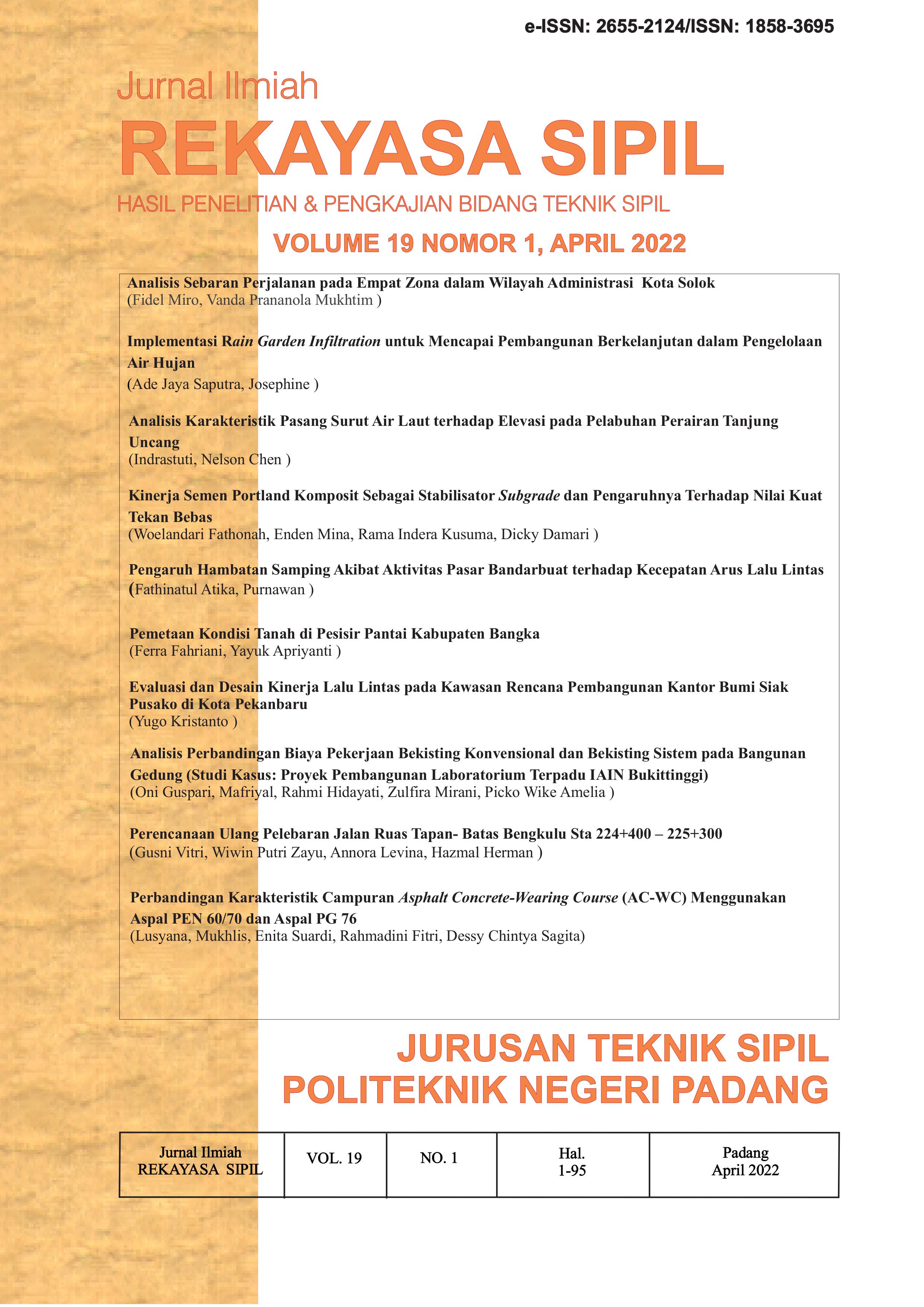
Perencanaan Ulang Pelebaran Jalan Ruas Tapan- Batas Bengkulu Sta 224+400 – 225+300
Abstract
Road infrastructure has a very important role in human life. Roads are the most important infrastructure of land transportation, with access roads from one area to another becoming easier. The development of roads from time to time is also increasing rapidly. The development of land transportation and the development of human activities was also followed by the repair, widening, and opening of new roads as happened in Nagari Tapan, where this nagari is one of the connecting accesses for the Province of West Sumatra and Bengkulu Province. This re-planning uses the 2013 Bina Marga regulation and the 1997 Intercity Road Geometric Planning Procedure (TPGJAK). The redesign process starts with data collection, data analysis, road geometric calculations, pavement thickness and budget plan (RAB). From the results of the calculation of the Geometric Planning of the Bengkulu-Boundary Tapan Road, it can be concluded that the Bengkulu-Boundary Tapan Road is local, with a 2-lane 2-way road type, 2.5 meters wide, flat terrain class and a design speed of 40 km/hour. Planning Horizontal alignment is planned for one type of bend in the form of 2 (two) Spiral Circle Spiral bends and vertical alignment is planned for 14 PV Points of Vertical. Based on the results of Flexible Pavement with the 2013 Highways Analysis, the overall pavement thickness is 42 cm, consisting of 4 cm AC-WC thickness, 6 cm AC-BC thickness, 14.5 cm AC-Base thickness, and 17.5 cm sub-base thickness. Flexible Pavement Construction Cost Rp. 5,104,375,000,- (five billion one hundred four million three hundred and seventy five thousand rupiah).
References
Nagari Tapan. Wikipedia, 2019. Online, tersedia di https://id.wikipedia.org/wiki/Tapan. (Accessed 05 Maret 2019).
Hendarsin, Shirley L.2000. Perencanaan Teknik Jalan Raya. Politeknik Negri Bandung Jurusan Teknik Sipil, Bandung.
Sukirman,Silvia. 1999. Dasar-Dasar Perencanaan Geometrik Jalan. Nova, Bandung.
Bina Marga, Direktorat Jendral, 1997. Manual Kapasitas Jalan Indonesia (MKJI), Jakarta : Direktorat Bina Jalan Kota, Direktorat Bina Marga RI dan SWEROAD.
Ferdinandus A, Lewaherilla N. 2017. Perencanaan Geometrik Jalan dan Tebal Perkerasan (Analisa Komponen Method) Pada Ruas Jalan Masiwang - Airnanang Kabupaten Seram Bagian Timur Sta 40 + 000 - 43 + 000. JURNAL MANUMATA VOL 3, NO 1 (2017) hal. 15-24
Keng Wong, Lie Irwan. 2013. Studi Perbandingan Perkerasan Jalan Lentur Metode Bina Marga Dan AASTHO dengan Menggunakan Uji Dynamic Penetration Test (Ruas Jalan Bengku- Funuasingko Kabupaten Bengkulu.: 1-8.
Sukirman. 2015. Tinjauan Perencanan Ruas Jalan Kota Sawahlunto- santur-Smea 2 Talawi. Skripsi. padang: Insitut Ternologi Padang.
Bethary Rindu Twidi, Pradana M. Fakhruriza, Bara M. Indinar, 2016. Perencanaan Geometrik Jalan Alternatif Palima-Curug (Studi Kasus : Kota Serang). Jurusan Teknik Sipil Fakultas Teknik Universitas Sultan Ageng Tirtayasa.
Undang-undang Republik Indonesia No 38 Tahun 2004 tentang Jalan
Jeckelin Pattipeilohy1, W. Sapulette2, N.M.Y. Lewaherilla3. 2019. Perencanaan Tebal Perkerasan Lentur Pada Ruas Jalan Desa Waisarisa Kaibobu. Jurnal Manumata Vol. 5, No. 2 hal. 56-64
Copyright (c) 2022 Jurnal Ilmiah Rekayasa Sipil

This work is licensed under a Creative Commons Attribution-NonCommercial-ShareAlike 4.0 International License.


