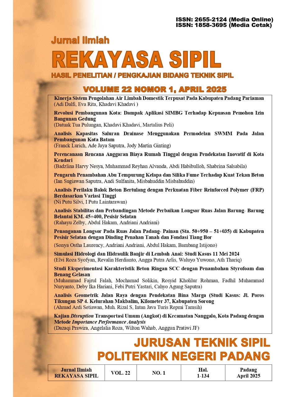
Simulasi Hidrologi dan Hidraulik Banjir di Lembah Anai: Studi Kasus 11 Mei 2024
Abstract
Since early 2023, Mount Marapi has shown its activity, even until 2024 Mount Marapi has erupted 170 times. Until Monday morning, April 29, 2024, at 06.00 WIB, Mount Marapi remains on Alert status (Level III). This indicates that a lot of landslide material due to volcanic eruptions has accumulated around the peak and upper slopes, which at any time can cause rain-induced lava floods. Related to the activities of Mount Marapi, a map of hazard-prone areas has been issued, including rivers that originate from Mount Marapi which are susceptible to rain-induced lava floods. The research was carried out by identifying river network patterns, hydrological characteristics, river morphology, and land use changes. The river network was analyzed using the Digital Elevation Model (DEM) from ASTER GDEM with a resolution of 8 m. Field validation for the river network was carried out using GPS Mapping at the Xakapa location. The hydrological and hydraulic profiles of the watershed were modeled using HEC-geoHMS and HEC-geoRAS to map the relationship between rainfall intensity, river discharge, and water level elevation along the river. From the modeling results, it can be seen that the rainfall intensity that has the potential to cause flooding is 142 mm/hour, using HEC-GeoHMS with a discharge of 1818 m3/second with a rainfall time of 6 hours causing a flood height of 0.81 m at an elevation of 379.9 with a wet cross-sectional area of ??471 m2 in Xakapa.
References
TunasHijau 2024. Galodo/Banjir Bandang/Banjir Lahar Hujan Sumatera Barat from : https://tunashijau.id/2024/05/galodo-banjir-bandang-banjir-lahar-hujan-sumatera-barat/
Borga, M, Anagnostou, EN, Blschl, G & Creutin, JD 2011, 'Flash flood forecasting, warning and risk management: the HYDRATE project', Environmental Science & Policy, vol. 14, no. 7, pp. 834-844.
Aryani, N., Ariyanti, D. O., dan Ramadhan, M. (2020). Pengaturan Ideal Tentang Pengelolaan Daerah Aliran Sungai di Indonesia (Studi Di Sungai Serang Kabupaten Kulon Progo). Jurnal Hukum Ius Quia Iustum, 27(3), 592614. https://doi.org/10.20885/iustum.vol27.iss3.art8
Taufik, M. S., dan Burhan, S. F. (2022). Pemodelan Debit Banjir Pada DaerahAliran Sungai Lekopancing, Kabupaten Maros Menggunakan Program HecRas. In Program Studi Teknik Pengairan Jurusan Teknik Sipil (Issue 8.5.2017).
Herdianto, R, Smettem, K, Coles, N., Paik, K. 2010. Coupling vegetation index and terrain information for better representation of spatial and temporal dynamics of hydrological processes, in 8th International Symposium on Ecohydraulics 2010, Seoul.
Herdianto, R, Smettem, K, Coles, N., Paik, K. 2013.Transitional responses of vegetation activities to temperature variations: Insights obtained from a forested catchment in Korea, J. Hydrol. 484, 86-95
Syofyan, E. R., Saidi, A., Istijono, B., Herdianto, R., (2018). The Hidrologic Impacts of Land Use Changes in the Middle and Upper Catchment. International Journal of Civil Engineering and Technology (IJCIET) 9 (11), 2018, pp. 9971005.
Syofyan. E. R, Saidi, A., Istijono, B., & Herdianto, R. (2017). Model Hidrograf Akibat Perubahan Tataguna Lahan DAS Batang Kuranji (Studi Kasus Sub DAS Danau Limau Manis). POLI REKAYASA Volume 13, Nomor 1, Oktober 2017.
Syofyan. E. R, Saidi, A., Istijono, B., & Herdianto, R. (2016). Kajian Model Hidrograf Akibat Perubahan Tataguna Lahan dengan Menggunakan Data Lapangan DAS Batang Air Dingin. POLI REKAYASA Volume 12, Nomor 1, Oktober 2016.
Syofyan. E. R, Saidi, A., Istijono, B., & Herdianto, R. (2020). Model Hidrologi Terdistribusi untuk Analisis Debit Terserap pada Sumur Resapan, Lubang Biopori dan Kolam Retensi . POLI REKAYASA Volume 15, Nomor 1, Apri; 2020.
NOAA's. 2013. Glossary.Available from: ].<http://forecast.weather.gov/glossary. php?word=flash%20flood>. [12 Mar 2013].
Huntington, T.G. 2006. Evidence for intensi?cation of the global water cycle: reviewand synthesis. J. Hydrol. 319 (14), 8395
Groisman, P.Y., Knight, R.W., Karl, T.R., Easterling, D.R., Sun, B., Lawrimore, J. 2004. Contemporary changes of the hydrological cycle over the contiguous UnitedStates: trends. Journal of Hydrometeorology 5 (1), 6485.
Groisman, P.Y., Knight, R.W., Easterling, D.R., Karl, T.R., Hegerl, G.C., Razuvaev, V.N. 2005. Trends in intense precipitation in the climate record. Journal of Climate18 (9), 13261350.
Looper, J. P., Vieux, B.E., 2012. An assessment of istributed flash flood forecasting accuracy using radar and rain gauge input for a physics-based distributed hydrologic model. J. Hydrol. 412413 (2012) 114-132.
Drobot, S., Parker, D.J.2007. Advances and challenges in ?ash ?ood warnings .Environmental Hazards 7 (3), 173178.
Collier, C.G., 2007. Flash flood forecasting: what are the limits of predictability?Quarterly Journal of the Royal Meteorological Society 133 (622), 323.
Georgakakos, K.P., 2006. Analytical results for operational flash flood guidance. J. Hydrol. 317 (12), 81103.
Collier, C.G., 2007. Flash flood forecasting: what are the limits of predictability?Quarterly Journal of the Royal Meteorological Society 133 (622), 323.
Norbiato, D., Borga, M., Esposti, S.D., Gaume, E., Anquetin, S., 2008. Flash floodwarning based on rainfall thresholds and soil moisture conditions: anassessment for gauged and ungauged basins. J. Hydrol. 362 (34), 274290.
Younis J., Anquetin, S., Thielen, J., 2008. The benefit of high-resolution operational weather forecasts for flash flood warning. Hydrol. Earth Syst. Sci. 12, 10391051. <http://www.hydrol-earth-syst-sci.net/12/1039/2008/>.
Cahill, T.H., J. McGuire, and C. Smith, 1993. Hydrologic and water quality modeling with geographic information systems. In Geographic Information Systems and Water Resources, J.M.Harlin and K.J. Lanfear, Ed., American Water Resources Association, Mobile, AL, pp.313317.
Luker, S., S.A. Samson, and W.W. Schroeder, 1993. Development of a GIS based hydrologic model for predicting direct runoff volumes. In Geographic Information Systems and Water Resources, J.M. Harlin and K.J. Lanfear, Eds., American Water Resources Association, Mobile, AL, pp. 303312.
Robinson, K.J., and R.M. Ragan, 1993. Geographic information system based nonpoint pollution modeling. In Geographic Information Systems and Water Resources, J.M. Harlin and K.J. Lanfear, Eds., American Water Resources Association., Mobile, AL, pp. 5360.
Copyright (c) 2025 Jurnal Ilmiah Rekayasa Sipil

This work is licensed under a Creative Commons Attribution-NonCommercial-ShareAlike 4.0 International License.


